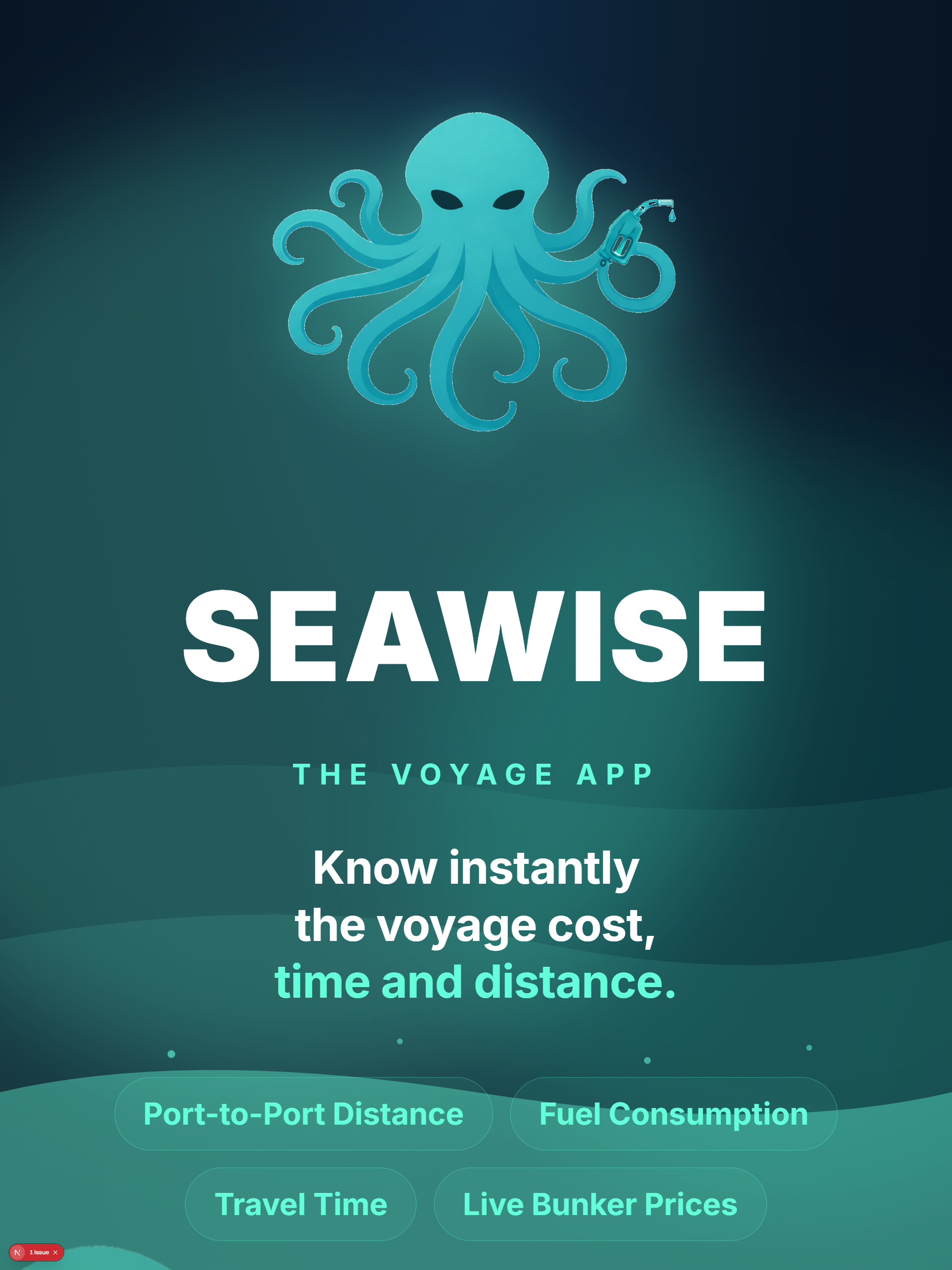
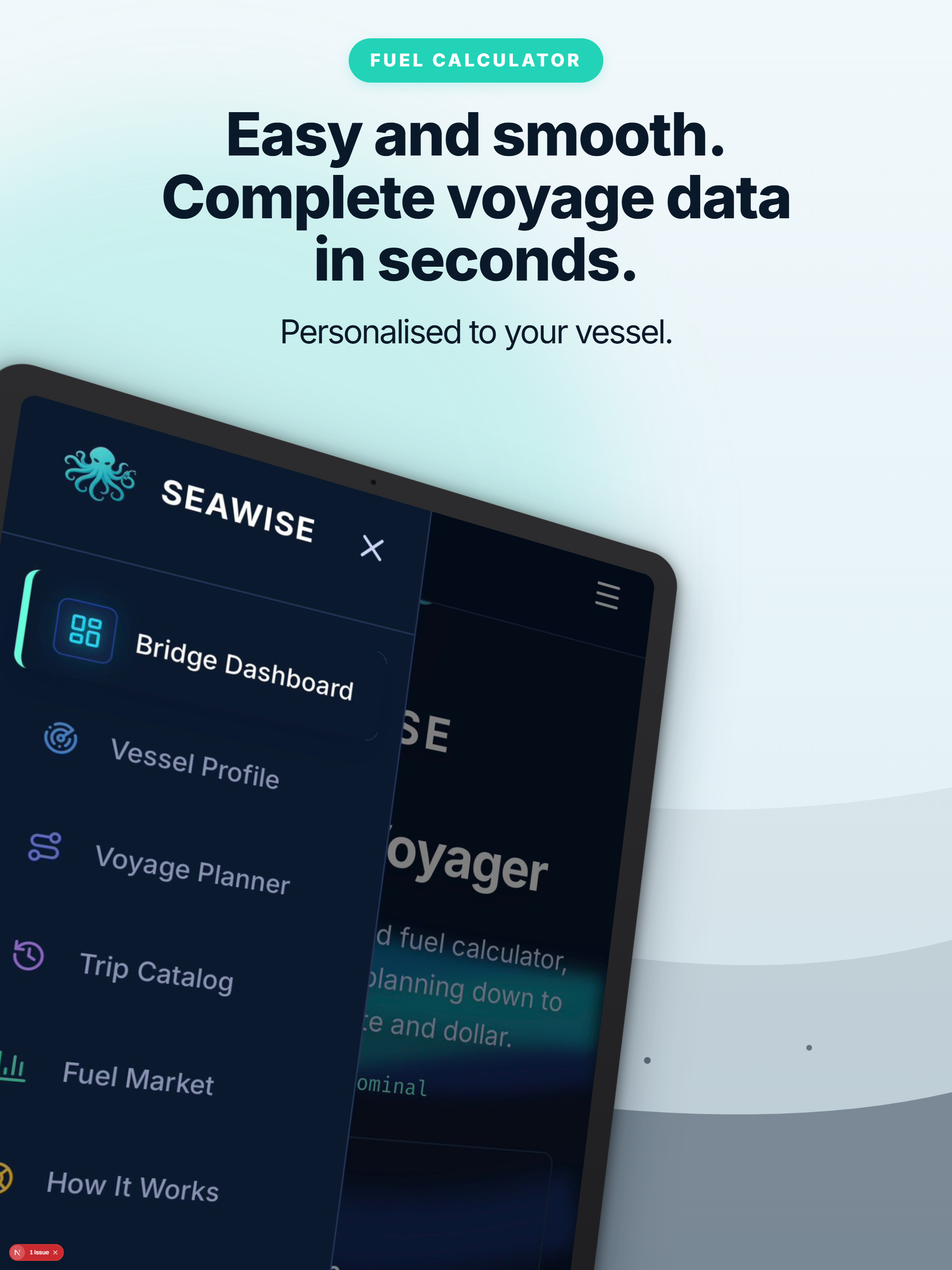
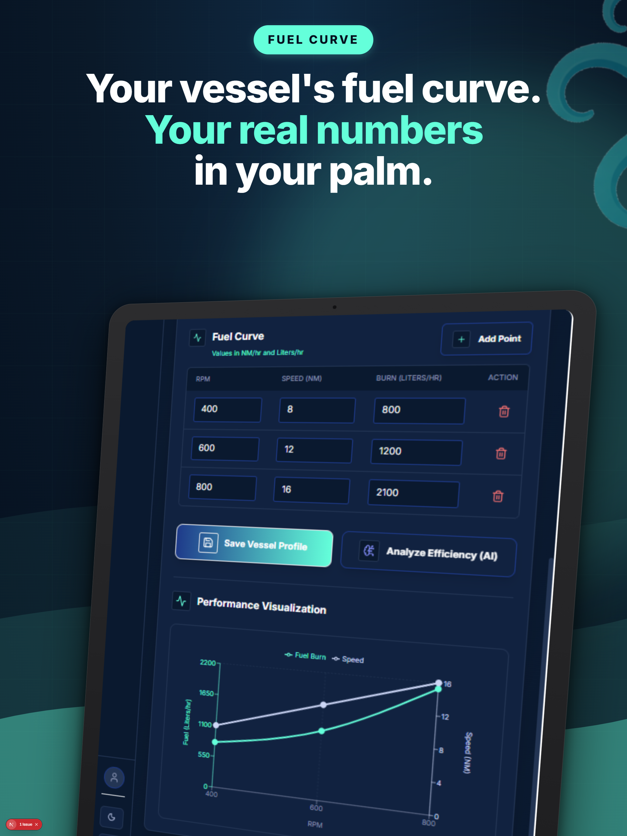
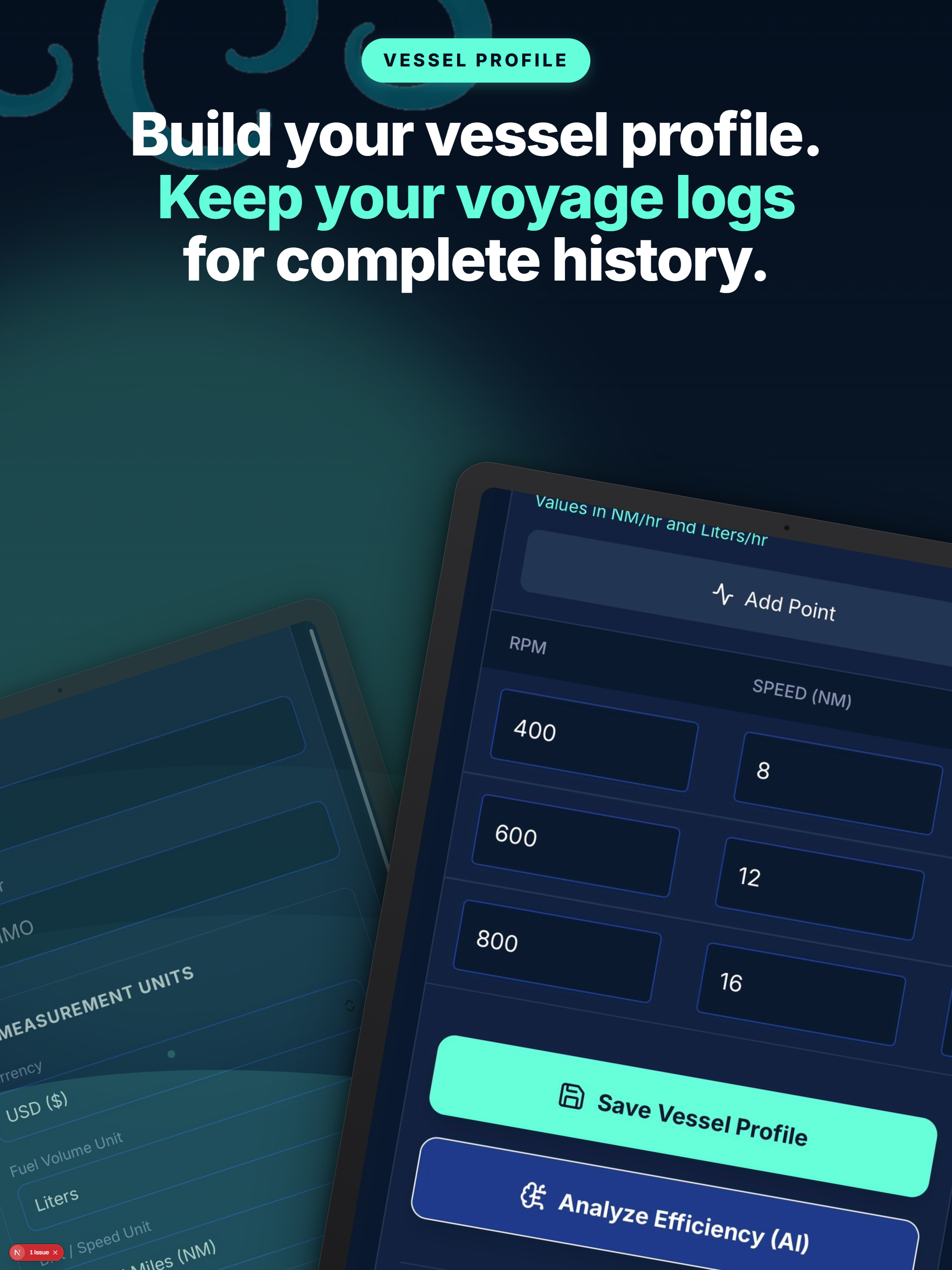
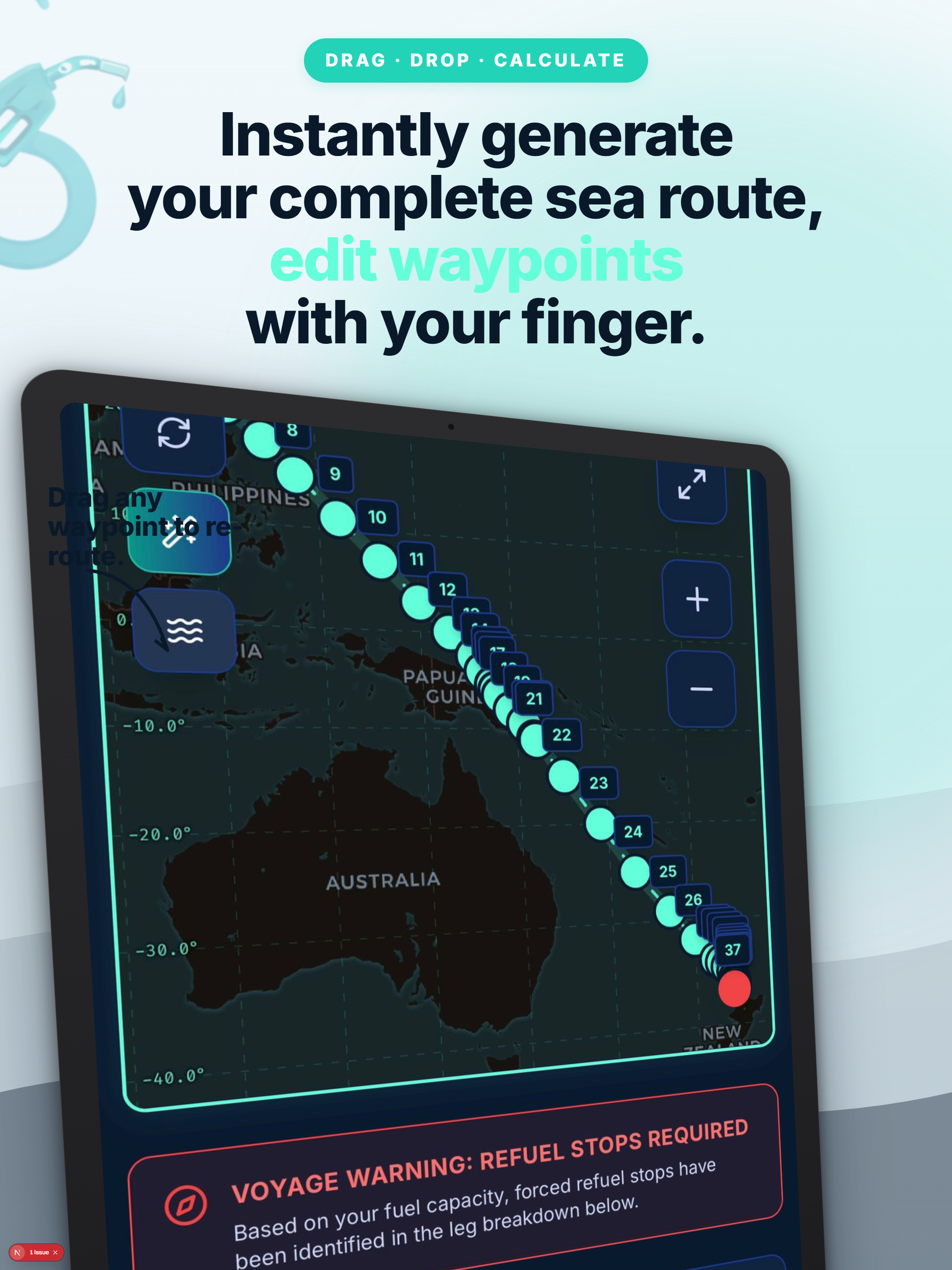
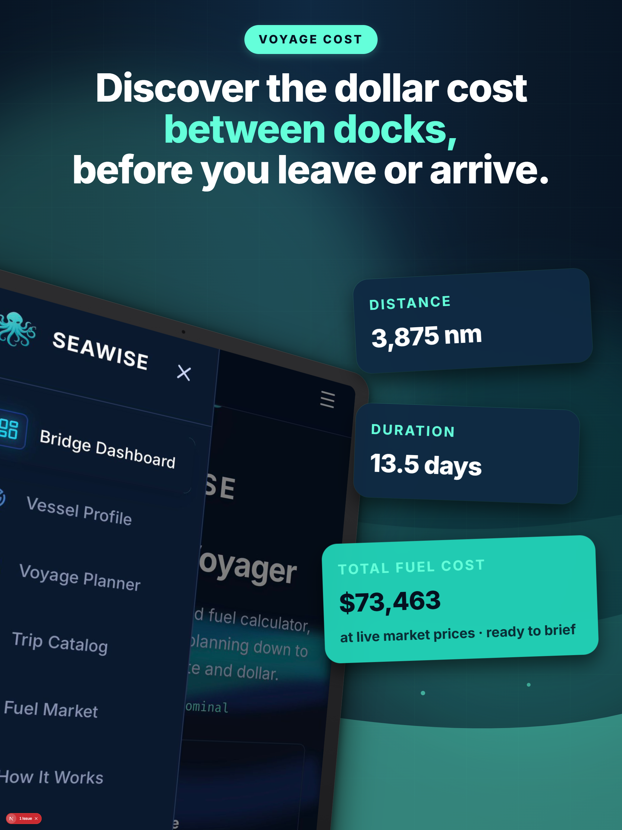
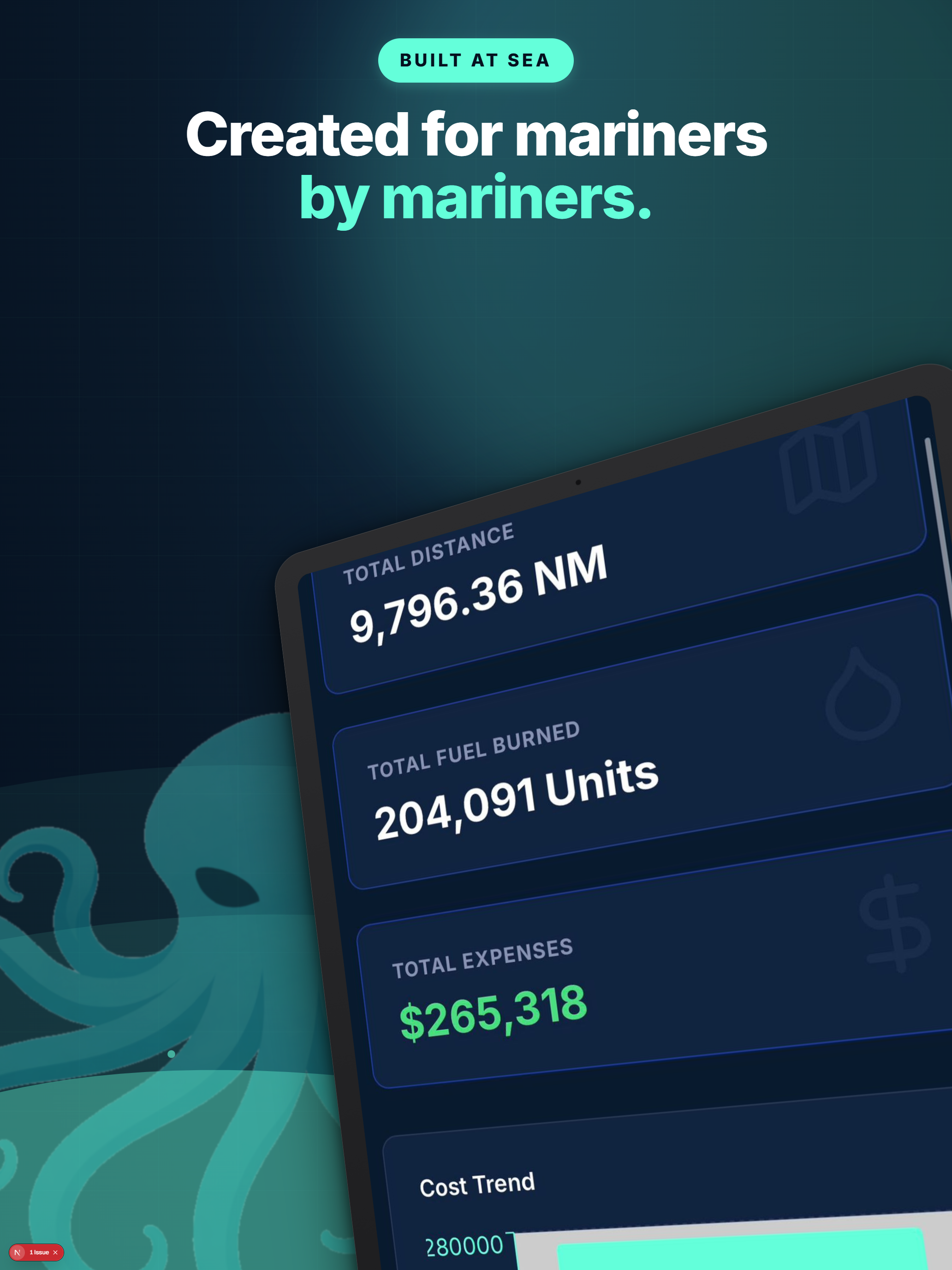
Port-to-port distance, fuel consumption, travel time and cost — calculated to the nearest mile, minute and dollar.
Professional-grade voyage planning tools powered by AI, built for captains and fleet managers.
Calculate port-to-port distance in nautical miles with precise fuel consumption based on your vessel's fuel curve. Results you can trust.
Get accurate voyage duration and total fuel cost estimates before you leave port. Plan budgets with confidence down to the dollar.
Auto-generate maritime routes that follow real shipping lanes, navigate through straits and canals, and stay on water. Powered by Google Gemini.
Track real-time bunker fuel prices at major ports worldwide — Rotterdam, Singapore, Fujairah, Houston and more. AI-powered price sync.
Model fuel consumption at different RPM and speed settings with custom fuel curve profiles. Accurate range calculations for any vessel.
Track every voyage with comprehensive cost and distance data. Review trip history, analyze trends, and optimize your fleet operations over time.
Built with a professional maritime interface designed for efficiency at sea and ashore.
One plan. Everything included. No hidden fees.
“SeaWise has transformed how we plan our voyages. The fuel calculations alone save us so much time per planned trip. Indispensable tool for any fleet operation.”
“Finally, accurate port-to-port distances with realistic fuel burn estimates. We switched from spreadsheets and never looked back. Essential tool.”
“The AI route planning is impressive — it knows every strait and shipping lane. Combined with live fuel pricing, it’s the complete voyage planning package.”
SeaWise is a port-to-port distance and fuel consumption calculator built for maritime professionals. Enter your origin and destination ports, configure your vessel's speed and fuel burn rate, and get precise calculations for distance (nautical miles), fuel consumption (liters or gallons), estimated travel time, and total voyage cost. It also includes AI-powered sea route generation and a global fuel price tracker.
SeaWise uses AI-powered route generation with Google Search grounding to plot realistic maritime routes that follow established shipping lanes, navigate through straits and canals, and avoid land. Distance is calculated using the Haversine formula along the generated waypoints, giving you nautical mile accuracy that reflects actual sailing routes rather than straight-line estimates.
When you enter origin and destination ports, our AI analyzes the route and generates maritime waypoints that follow real shipping lanes. It accounts for major chokepoints like the English Channel, Strait of Gibraltar, Suez Canal, Malacca Strait, and Panama Canal. The AI uses Google Search grounding to access real geographic data, ensuring waypoints stay on navigable water.
SeaWise is available as a web app accessible from any modern browser at app.seawise.site. Native iOS and Android apps are coming soon to the Apple App Store and Google Play Store. Your data syncs seamlessly across all your devices via cloud storage.
The Global Fuel Market feature tracks bunker fuel prices at major ports worldwide including Rotterdam, Singapore, Fujairah, Houston, Gibraltar, Panama Canal, and Miami. Prices are updated via AI-powered sync that pulls the latest rates from global fuel suppliers. You can view prices per liter or per gallon, compare across ports, and factor live pricing into your voyage cost estimates.
Calculate distance, fuel, time and cost for any port-to-port route in seconds.
Launch SeaWiseHow can we help you today?